Mapping a Healthier Nepal
Multi-Layer Intelligence
Overlay demographic data, disease prevalence, and facility locations in a single view.
Interactive Discovery
Click any facility to view live service stats, contact details, and current capacity.
Smart Filtering
Filter by province, district, facility type, or specific health services offered.
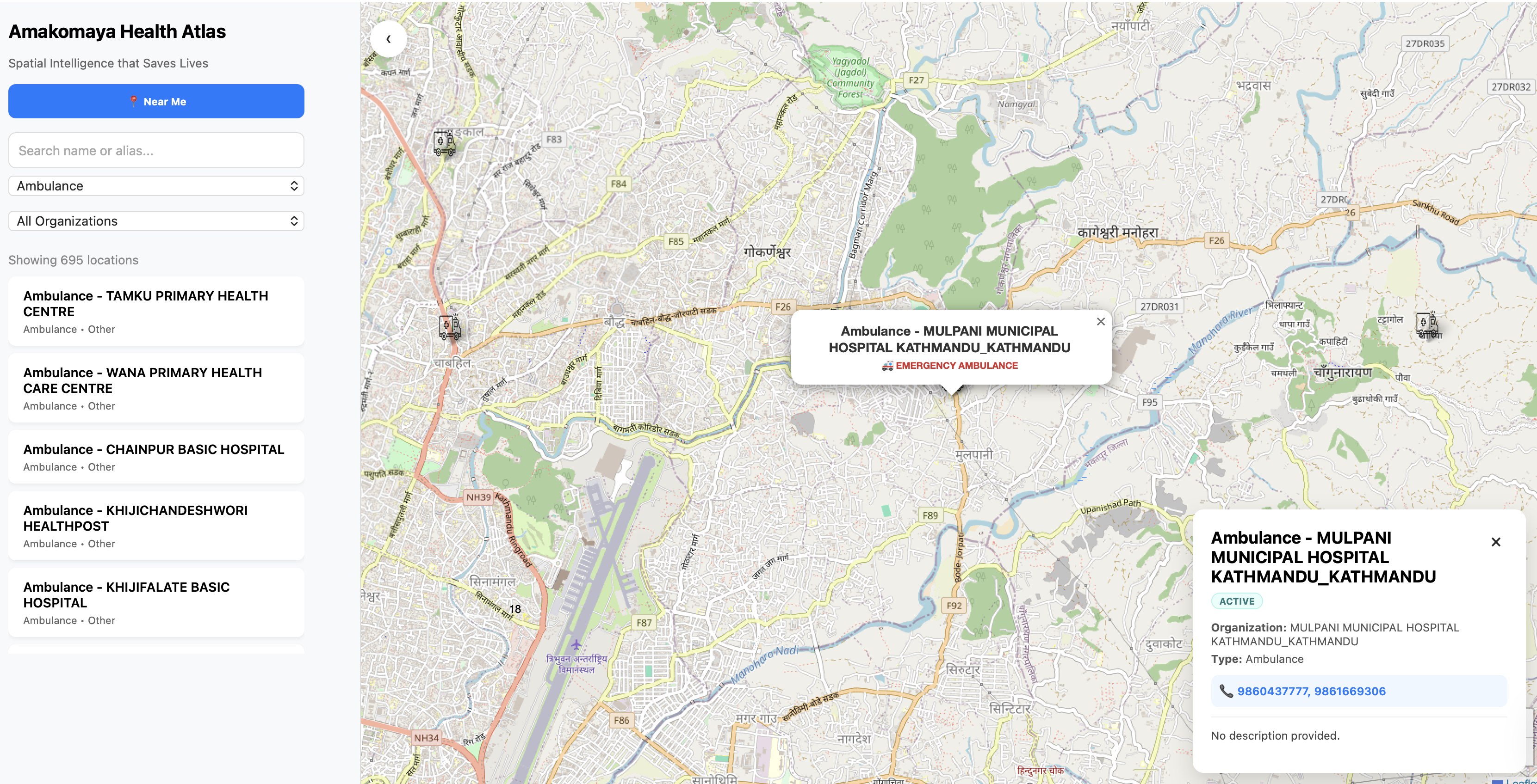
Platform Capabilities
Facility Mapping
Geo-tagging and categorization of all health posts, clinics, and hospitals across Nepal.
Resource Tracking
Real-time visibility into equipment, medicine stock, and human resource availability.
Heatmap Analytics
Visualize disease outbreaks and healthcare gaps through interactive heatmaps.
Service Catchment
Analyze travel distances and population coverage to improve health accessibility.
Open Standards, National Scale
Built on top of OpenStreetMap (OSM) and integrated with FHIR (Location / Organization), our Health Atlas ensures that data flows from the local level to the national dashboard seamlessly.
Work With Us